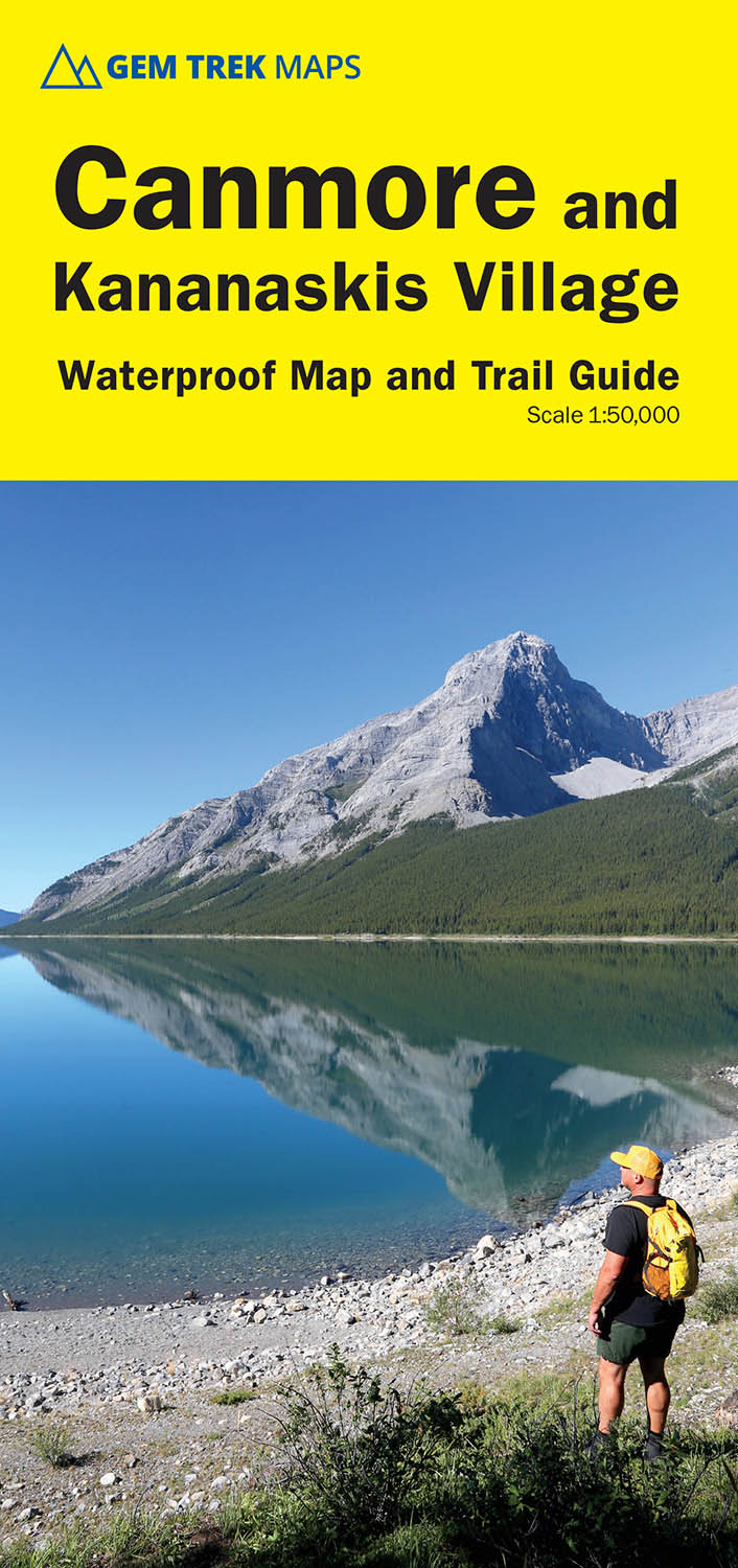
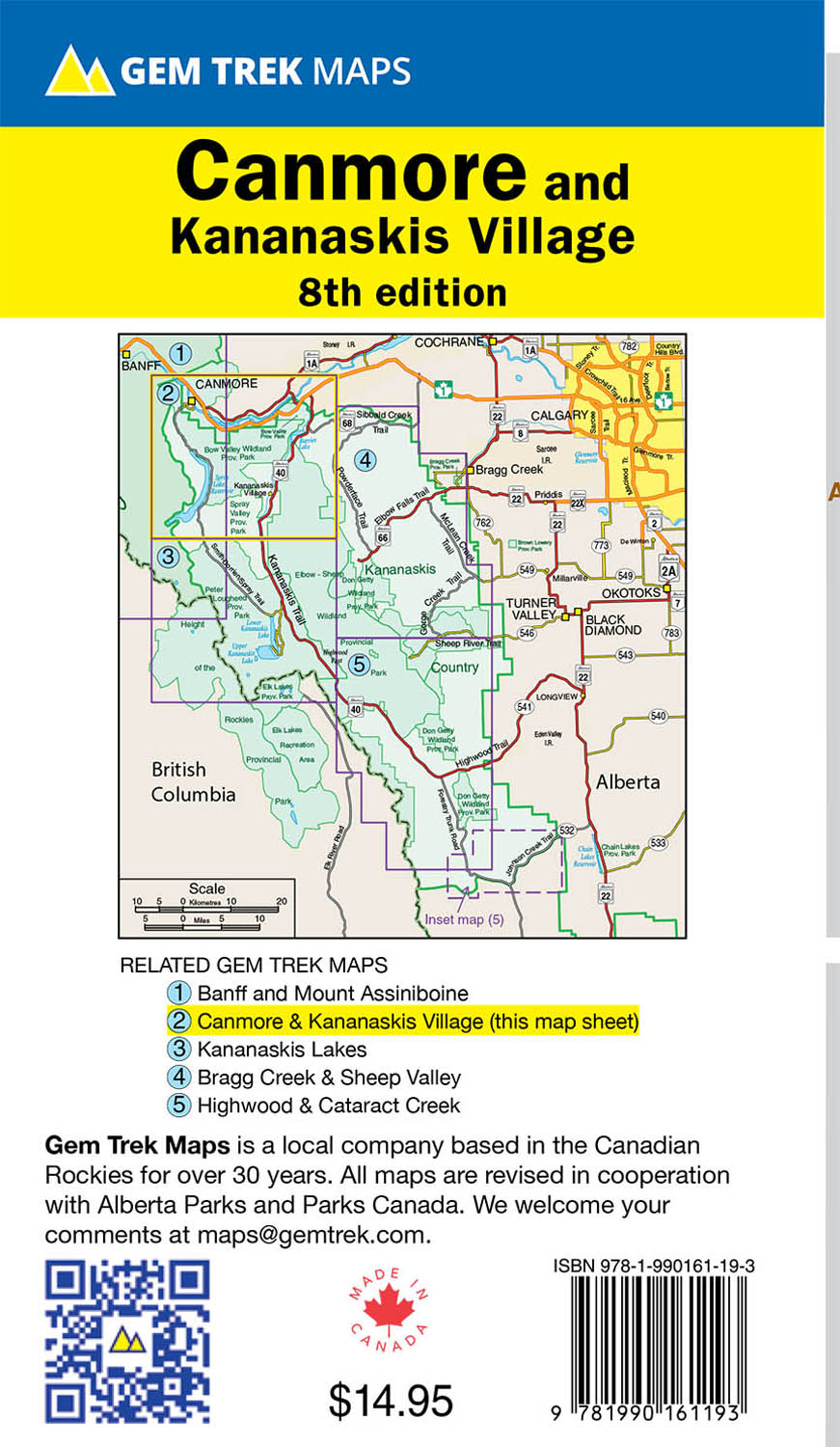
Canmore & Kananaskis Village Map
ISBN: 978-1-990161-19-3
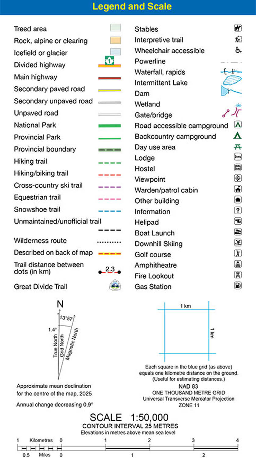
Scale: 1:50,000
Edition: 8th, 2025
Folded size: 4.5 x 9.5 inches
Flat size: 27 x 36 inches
$14.95
Also Available Here
Description
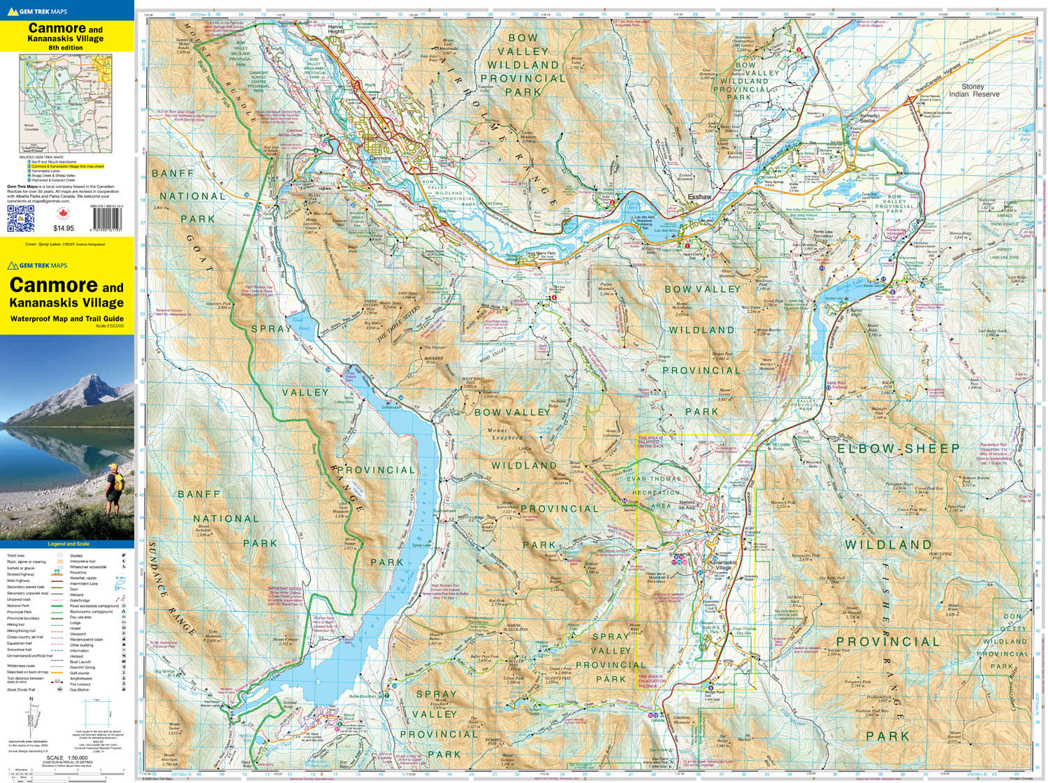
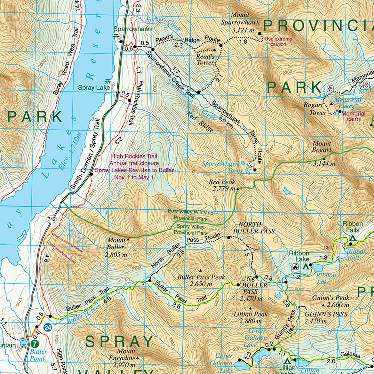
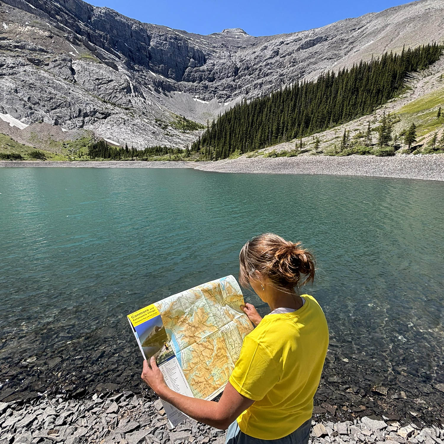
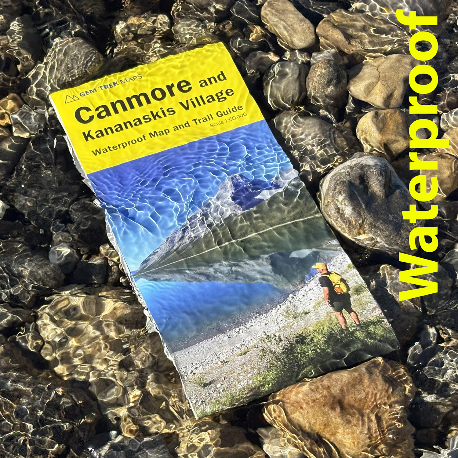
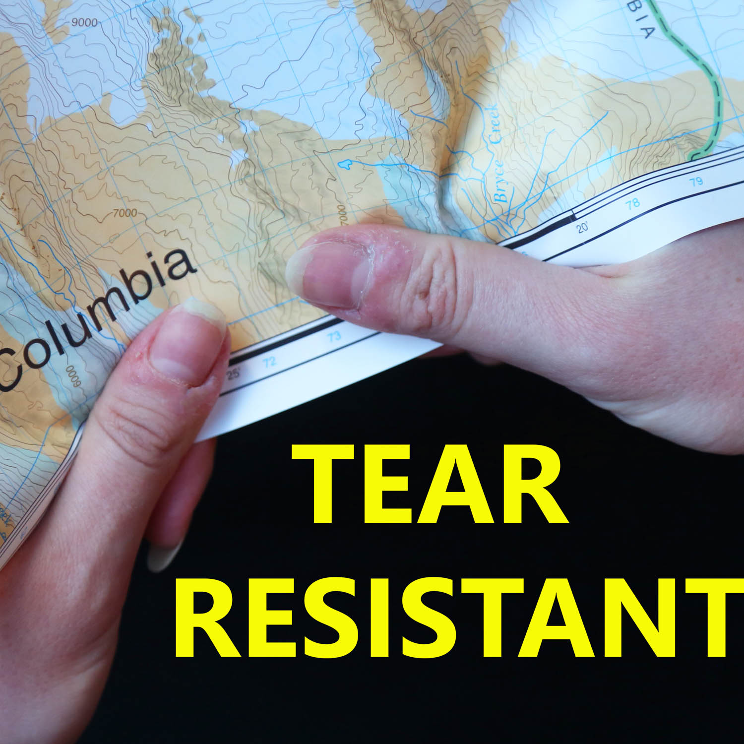
Waterproof and tear-resistant hiking and recreation map for the Canmore and Kananaskis Village region of the Canadian Rockies.
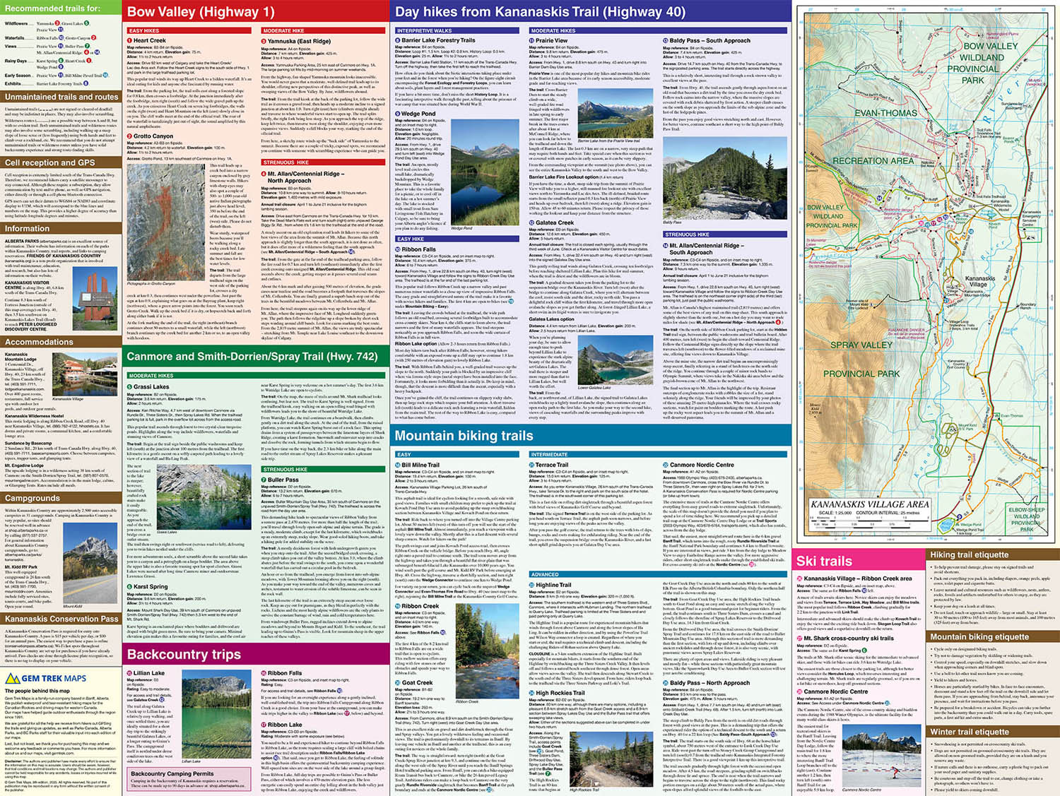
Gem Trek's 1:50,000 Canmore & Kananaskis Village Map is designed for hikers and outdoor enthusiasts looking to explore the northern portion of Kananaskis Country. Whether you are touring along the roads or heading into the backcountry, you'll find the waterproof and tear-resistant Canmore & Kananaskis Village Map to be an invaluable tool. This map features detailed cartography, accurate hiking trails with distances, and details such as logging roads, campgrounds, equestrian routes, day use areas, and fire lookouts. On the back are descriptions of the most popular hiking trails, as well details of services such as campgrounds and visitor centres.
Canmore & Kananaskis Village Map Coverage
The Canmore & Kananaskis Village Map covers the town of Canmore west to the Stoney Reserve and south to Kananaskis Village along Highway 40. It includes all of Spray Valley Provincial Park, Bow Valley Provincial Park, Bow Valley Wildland Provincial Park, and the northern section of the Elbow-Sheep Wildland Provincial Park.
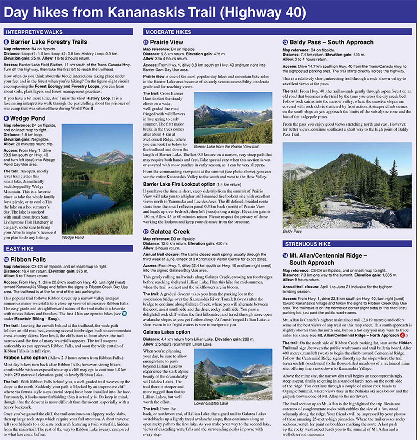
Popular hiking trails on the Canmore & Kananaskis Village Map include Grassi Lakes, Yamnuska, Ha Ling, Lady Macdonald, Barrier Lake Lookout, Mt. Allen via Centennial Ridge (the highest maintained trail in the Canadian Rockies), Ribbon Falls and Ribbon Lake, Lillian and Galatea lakes, Buller Pass, and trails originating from the Mount Shark Day Use Area.
A 1:25,000-scale inset map on the back increases coverage in the vicinity of Kananaskis Village and as far south as Wedge Pond. If you are staying at Kananaskis Village or Mount Kidd RV park, you will find this inset map invaluable.
Canmore & Kananaskis Village Map Features
The Canmore & Kananaskis Village Map includes:
- waterproof and tear-resistant paper
- contour lines at 25-metre (80-foot) intervals
- relief shading to better show the topography
- full colour on both sides
- hiking trails - with trail names and trail distances marked
- mountain biking trails - with trail names and distances marked
- hydrology – rivers, rapids, wetlands, glaciers, and waterfalls
- mountain names and all available mountain elevations
- all campgrounds
- points of interest and attractions
- picnic areas
- highway viewpoints